jungle-gif

none

Industrial Application

Aerial surveying allows builders to create virtual environments with geotagging images through available mapping software

Industrial Inspection

Learn more

Capture still images and videos from a distance or altitude to gather information about specific targets

Surveillance Security

Learn more

Surveying of construction site based on orthographic photos to generate point clouds, volume calculations and 3D models

Construction & Real Estate

Learn more

Measure distances and volumes, develop fast topographic, hydrographic and thermal maps with monitoring volumetric calculations for stockpiles

Mapping Service

Learn more

Quickly capture site conditions, track inventory over time, improve site planning and coordination

Mining Inspection

Learn more

Monitor offshore utility pipeline, inspect sites or manage other oil and gas assets efficiently

Oil & Gas

Learn more

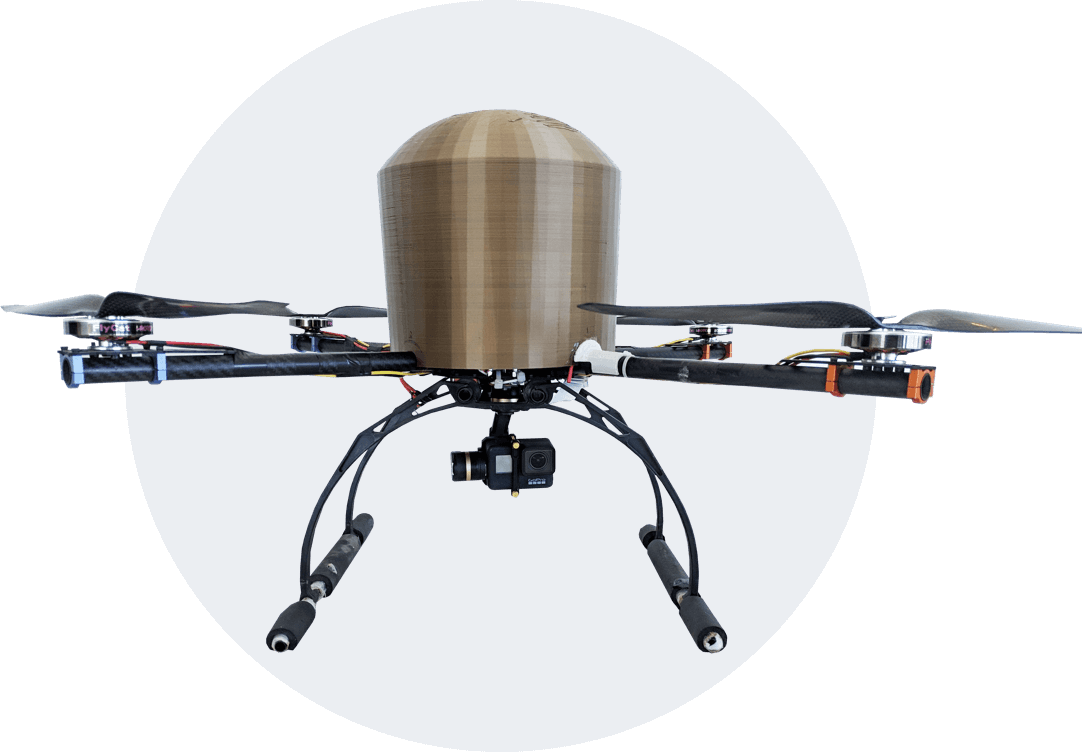
Tida Mapping System - Specification

Operational Range
4 km

Endurance
30 minutes with 500g payload

Accuracy
Up to 2cm

Take-off Weight
4 kg with maximum take-off weight

Wheel Base
650mm

Max Operating Altitude
Up to 400 m AGL

Payload Specification

LIDAR Sensor
3.6` FOV, 0.1-12m range

Day&Night Vision
12X optical zoom, 1080p

Thermal Imaging payload
640 × 480 pixels (Radiometric)

HD Imaging
Payload

4K/60fps,
12-megapixel(HDR)

Multispectral Camera
RGB resolution 16 MP

RGB/Thermal Dual Payload
640 thermal & 4k RGB recoding

How it Works

1

UAV Flight plan

  • Select and analyze project site
  • Determine project parameters such as number of flight paths and image resolution
  • Evaluate project site for safety parameters
2

Ground Control Points

  • Define reference points for data collection
  • Quality ground control points provide known locations for processing UAVs data
3

Flight Take-off

  • Flight parameters are entered
    into our mission planning software
  • The drone takes-off, flies and lands autonomously
  • Data is evaluated onsite to determine quality
4

Image Processing

  • Image data is downloaded at the control station
  • Each image receives geo-tag to record location
  • Report is generated to ensure quality and site coverage
Watch Video